
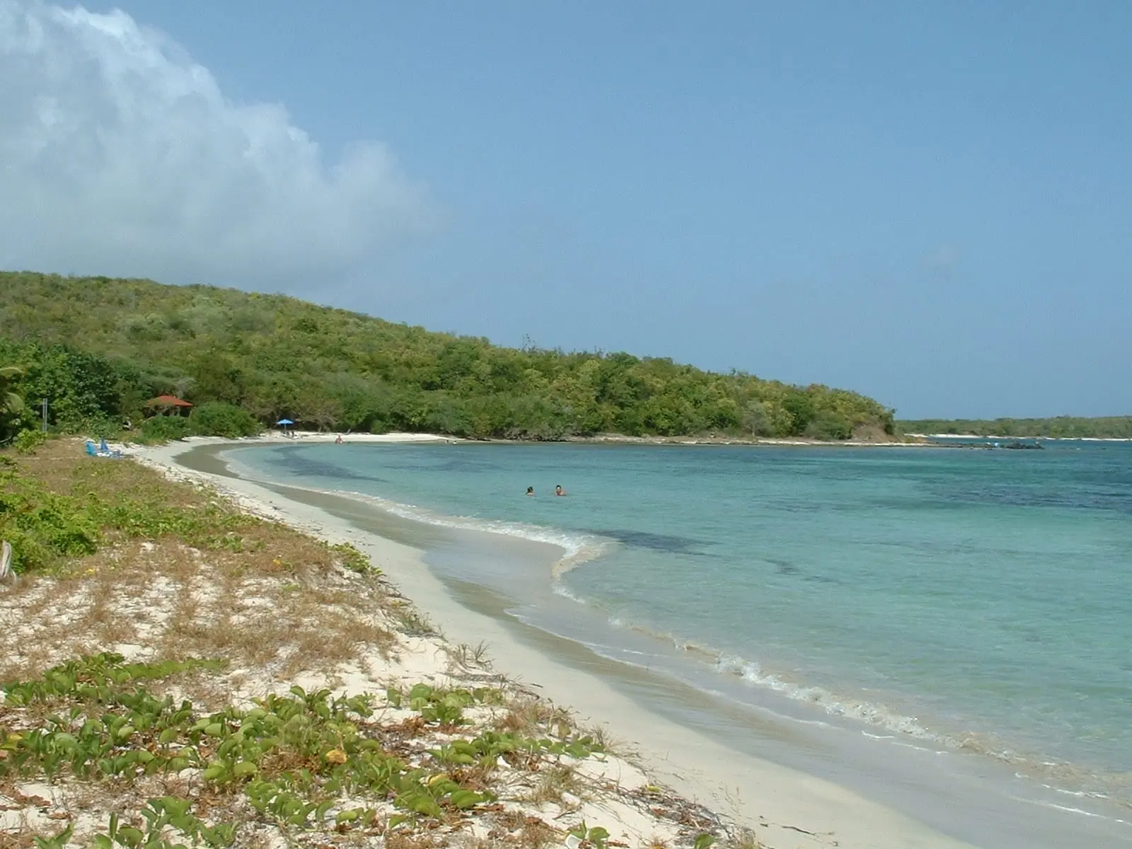

Most of the good beaches on Vieques are inside a National Wildlife Refuge that used to be a Navy bombing range. That sounds alarming and mostly is not. What it does mean is that the boundary between open and closed matters more here than anywhere else you will go on holiday, and that the public record of where that boundary runs is eighteen years old.
The one sentence that decides your day
“Currently, a major portion of the eastern wildlife refuge is closed to the public due to the danger of unexploded ordnance and the associated clean-up process.”
And the rule attached to it, which has no softening clause:
“Note: The areas not open to the public shall not be visited by land or sea at any time.”
By land or sea. That catches people arriving on a boat who assume a beach without a gate is a beach without a rule.
The map is from 2008, and there are no hours
The map. The refuge’s map of open and closed areas,
VieguesMapInsert08.pdf, carries a publication date of 22 April 2008. The
visitor brochure is dated 17 August 2008, and the Comprehensive Conservation
Plan 1 August 2007. The authoritative public map of an active
unexploded-ordnance clean-up predates most of the clean-up.
The hours. The refuge is open to the public year round and sets no published gate hours. The sister refuge on Culebra manages a single clear sentence:
“Schedule — Our public areas and hiking trails are accessible every day of the week from 6:00 AM to 6:00 PM (GMT-4).”
Vieques has no equivalent, so every “gates open at sunrise and close at sunset” you will read comes from a travel site rather than the agency.
What this means for you: on the day, the signs, gates and staff on the ground are the rule. Where a sign and the 2008 map disagree, the sign wins.
Every published trail
The Fish and Wildlife Service publishes six trails:
| Trail | Side | Length | Difficulty | Trailhead |
|---|---|---|---|---|
| Puerto Ferro | East | 0.29 mi | Easy | Puerto Ferro Peninsula |
| Puerto Mosquito | East | 2.5 mi triangle | Moderate | Refuge entrance parking lot |
| Playuela | East | 0.42 mi | Easy | 18°06’48”N 65°24’52”W |
| Cerro Playuela | East | 0.95 mi | Moderate | 18°06’24”N 65°25’26”W |
| Tapon | East | 0.85 mi | Moderate | 18°06’38”N 65°24’35”W |
| El Pobre | West | 0.5 mi | Easy | 18°07’09”N 65°33’20”W |
What each one gets you, in the agency’s words:
- Puerto Ferro — “This trail will take you the Historic Puerto Ferro Lighthouse. There is a small trail to the Puerto Ferro Beach on the left side of the Lighthouse.”
- Puerto Mosquito — “Hiking Trail to Observation Platform with a view of the Puerto Mosquito National Natural Landmark.” This is the only legal way to look at the bio bay without booking a kayak.
- Cerro Playuela — “From the top of the hill, you can go to Corcho Beach, to a south cliff with view of the Caribbean Sea and to Playuela Sandy Beach.”
- Tapon — “connects you to Caracas Beach.”
- El Pobre — “Ends at the Kianí Lagoon mouth entrance.”
Note what is not on that list: La Chiva, the beach Puerto Rico’s tourism board ranks best on the island.
Every published gate
| Gate | Coordinates |
|---|---|
| Main Entrance, Eastern Side (Main Office) | 18°7’15.82”N / 65°26’15.83”W |
| Western Side — Punta Arenas | 18°7’0.82”N / 65°33’5.46”W |
| Western Side — Monte Pirata | 18°6’13.66”N / 65°33’12.59”W |
| Western Side — Playa Grande | 18°5’36.97”N / 65°30’26.02”W |
Driving in from the ferry, per the refuge:
“From the Vieques Ferry Terminal, head toward Calle Benitez Castano. Continue to follow PR-200R and at the ‘Y’ intersection with PR-997 your will see a TOTAL Gas Station. Turn south at PR-997, towards Esperanza. At 3.2 km take a left onto the east gate entrance of the VNWR.”
The full prohibition list
From the refuge’s rules and policies page, verbatim, because paraphrasing a rule list is how errors get made:
“It is Prohibited: Driving under the influence of alcohol or controlled substance. Destroying or removing any public or private property. Open fires and/or camping. Removing or searching for objects of antiquity. Constructing, installing or occupying a private structure. Driving off road. Flying drones. Littering and/or dumping garbage. Removing any plants and/or animals, and harassing wildlife or Endangered Species. Tampering with any private or public vehicles or equipment”
Drones get their own banner, which tells you how often it comes up:
“The use of DRONES on the refuge is PROHIBITED … U.S. Fish and Wildlife Service policy (50 CFR 27.34 and 27.51) prohibits the unauthorized operation of aircraft … For questions regarding this policy, please contact the refuge headquarters at (787) 851–7258.”
Bikes and horses have a specific rule worth knowing: “Bicycle riding and horseback riding are not allowed on any of the beaches; yet in some sections of trails, folks may walk their bikes along the shore to re-connect with the bike trail.”
Dogs are allowed on a leash. Firearms must comply with state and local law plus refuge regulations at 50 CFR 27.42 and 50 CFR Part 32.
What you are allowed to do
“In addition, our visitors will be able to do kayaking, fishing, snorkeling, and SCUBA diving at the beaches and lagoons.”
Fishing is permitted in the bays, beaches and lagoons outside the restricted areas, and the refuge runs a night fishing program.
Commercial filming or photography of any kind requires a Special Use Permit from the Refuge Manager.
What this place is
“Vieques National Wildlife Refuge created by Congress with lands formerly managed by the Navy in 2001 and 2003. The refuge consists of approximately 17,771 acres of land (3,100 acres on the west and 14,671 acres on the east). … the largest National Wildlife Refuge in the Caribbean.”
Sixteen federally-listed plant and animal species occur on the refuge and in the waters around it.
Free, year round, no entrance fee. Office at Carr. 997 Km 3.2, Vieques, PR 00765–3139, on 787-851-7258.
The practical version
Go to the beaches that are signed and gated — Caracas and La Chiva are the two most people want. Stay on the marked ground. Do not drive off the road, do not fly a drone, and do not treat an unfenced beach as evidence of anything.
The refuge is genuinely one of the best things about Vieques, and the bio bay is right beside it: the Fish and Wildlife Service notes that the refuge borders Puerto Mosquito, which the DRNA manages. The new-moon nights and the tours that leave from the island are on the Mosquito Bay page.